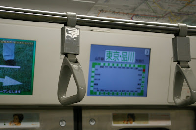
Akihabara, Ginza, Shibuya, Shinjuku, and Ikebukuro are some of the big commercial hubs, with massive multi-floor stations (sometimes 8-story department stores rising above, around, or next to the station) with numerous levels below. So much of Tokyo life is in the stations as transit points, and many people do much of their eating and shopping at stations or within blocks of the major stations. One could easily live for days without leaving the trainlines or the station areas, and they redefine your sense of being in a city. Below, shops outside Akihabara:
 ...a residential area in Nippori (with old architecture mixing with new)....
 A residential street about 20 minutes from the big Shibuya station (typical in showing lots of care for plants outside buildings, and the smaller streets that break off the larger ones)...
 It's easy to forget you're in a port city, but we did go back to Odaiba a few days ago, and took a waterbus from a pier to the Odaiba island, passing along old waterfront warehouses.
No comments:
Post a Comment